Shape Lincoln 2051 Official Plan Review
The Town is undertaking a review of our Official Plan, guiding community growth and development to 2051, while conforming with the recently adopted Niagara Region Official Plan, updates to Provincial policies, and Lincoln's Council Priorities.
Learn more about the Official Plan Review
The Official Plan
The Official for the Town of Lincoln was adopted by Council on July 7, 2014 and as approved by Niagara Region, with modifications, on April 30, 2015, as further approved by the Ontario Municipal Board with modifications on November 18, 2016.
Purpose
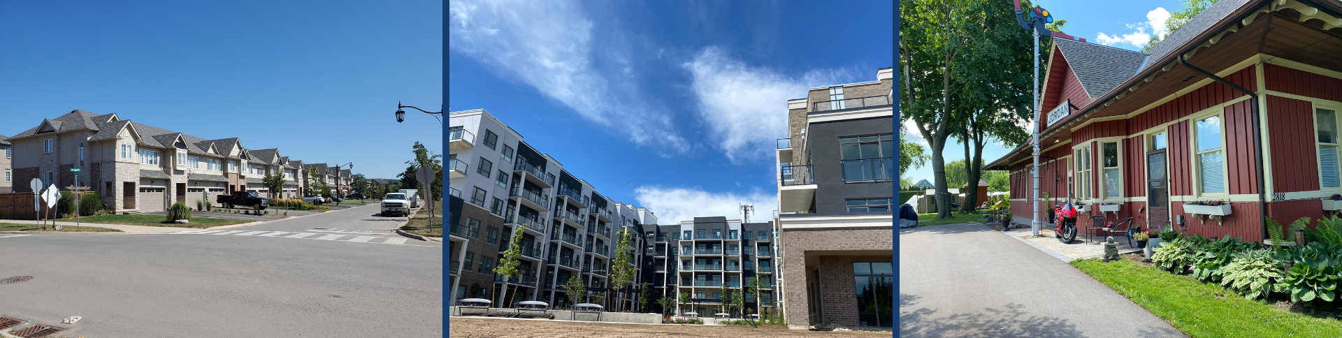
The Official Plan sets out the long term vision for the future. The Official Plan contains goals, objectives and policies to guide future land use, physical development, growth and change within the Town.
The Official Plan addresses issues such as:
- Where agricultural, residential, institutional, recreational, commercial and industrial uses can be located
- What areas must be protected
- What services such as watermain, sewers and roads will be needed
- When and in what order parts of the community will grow
- What policies, regulations and rules apply
Most recent additions and changes to the Official Plan include:
- Provision of policies to support, promote and sustain the farm community to support value added agriculture.
- Updated policies to bring them into conformity with Provincial policies including the 2005 Greenbelt Plan, the 2014 Provincial Policy Statement, 2006 Places to Grow Plan.
- Updated policies to bring the plan info conformity with the Regional Official Plan.
- Updated environmental policies to address the requirements of the Greenbelt Natural Heritage System and how they can be balanced with supporting agriculture.
The Official Plan includes the text of the Plan and the text of all amendments to the Plan that have been given final approval as November 2016. The text of the Official Plan is provided for convenience only and should be read in conjunction with all of the Schedules. A hard copy of the Official Plan which includes all the Schedules is available for purchase from the Planning and Development Department.
The Official Plan consists of ten parts as follows:
Full Plan (consolidated: December 2018)
Part 1 - Introduction
Part 2 - Agricultural Area Land Use
Part 3 - Urban Area Land Use Policies (updated: December 2018)
Part 4 - Environmental & Water Management Resource Policies
Part 5 - Economic Strategy
Part 6 - Transportation
Part 7 - Municipal Servicing
Part 8 - Community Design Guidelines
Part 9 - Administration
Part 10 - Definitions
Schedules
Schedule A - Land Use Plan
Schedule A1 - Land Use Plan
Schedule A2 - Beamsville
Schedule A3 - Vineland and Vineland East
Schedule A4 - Prudhommes
Schedule A5 - Jordan and Jordan Station
Schedule B1 - Prudhommes Area Secondary Plan
Schedule B2 - Campden Neighbourhood Secondary Plan
Schedule C1 - Built Up Area and Greenfield Area, Beamsville
Schedule C2 - Built Up Area and Greenfield Area, Vineland and Vineland East
Schedule C3 - Built Up Area and Greenfield Area, Jordan and Jordan Station
Schedule C4 - Built Up Area and Greenfield Area, Prudhommes
Schedule C5 - Built Up Area and Greenfield Area, Campden
Schedule D1 - Major Roads Plan
Schedule D2 - Trail and Bikeway Plan
Schedule D3 - Trail and Bikeway Plan (Beamsville)
Schedule D4 - Trail and Bikeway Plan (Jordan & Area)
Schedule D5 - Trail and Bikeway Plan (Prudhommes Area)
Schedule E1 - Environmental Protection Area
Schedule E2 - Environmental Conservation Area
Schedule E3 - Aggregate Resources
Schedule E4 - Hazard Lands
Schedule E5 - Greenbelt Protected Area